Kakadu — Day 2

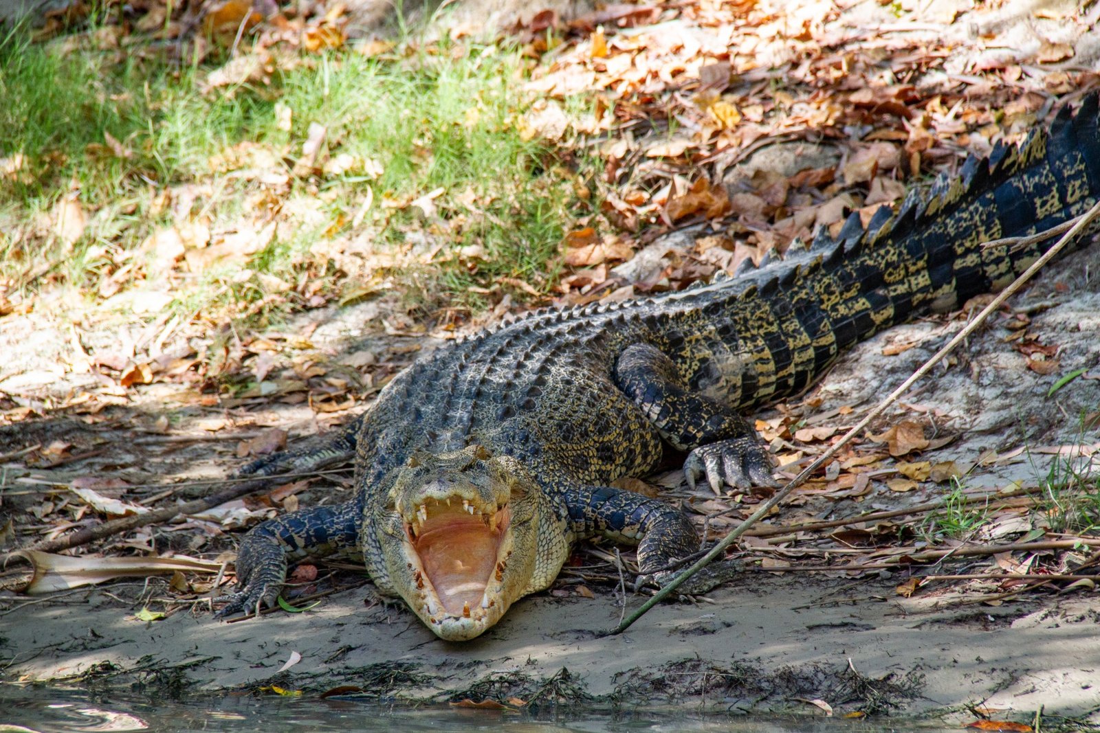
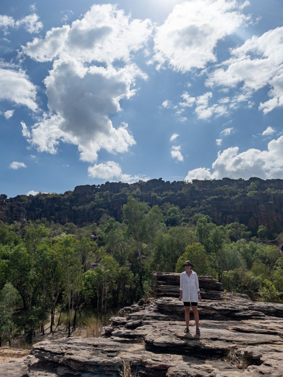
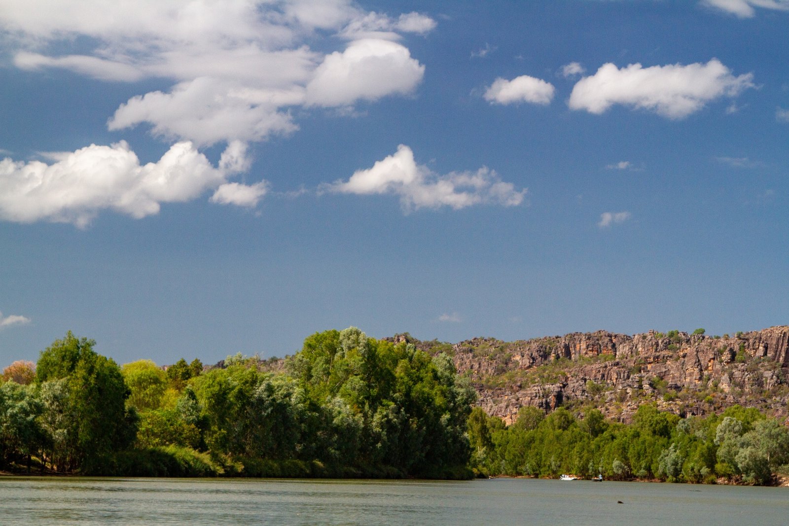
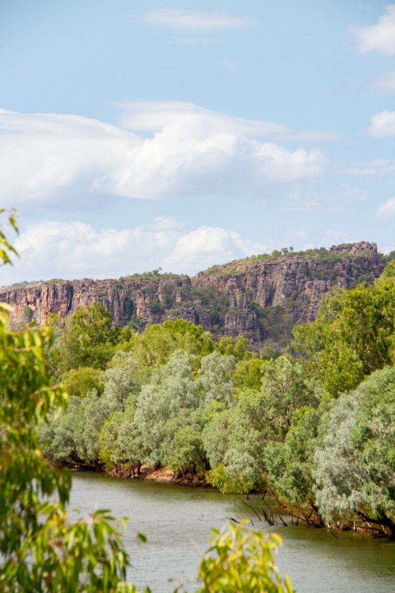
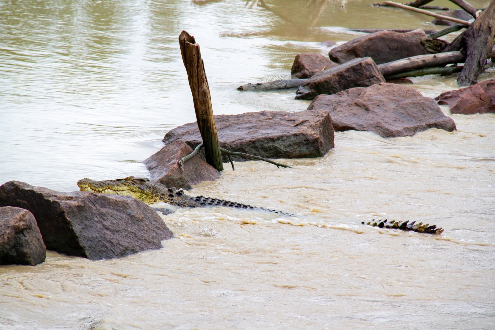
East Alligator River again today, this time in a boat, with the very excellent Guluyambi Cruises, owned and managed by the traditional owners of the various clan estates in Kakadu. Anna goes straight for the river-side seat before remembering the abundance of crocodiles [Anna: I made a huge mistake…so vulnerable]. 

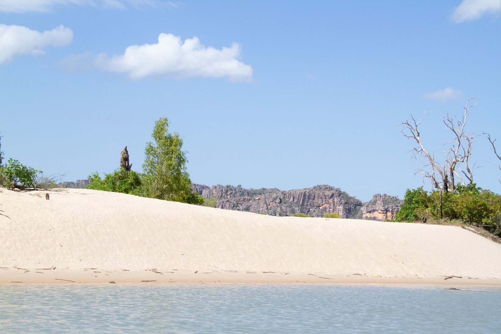
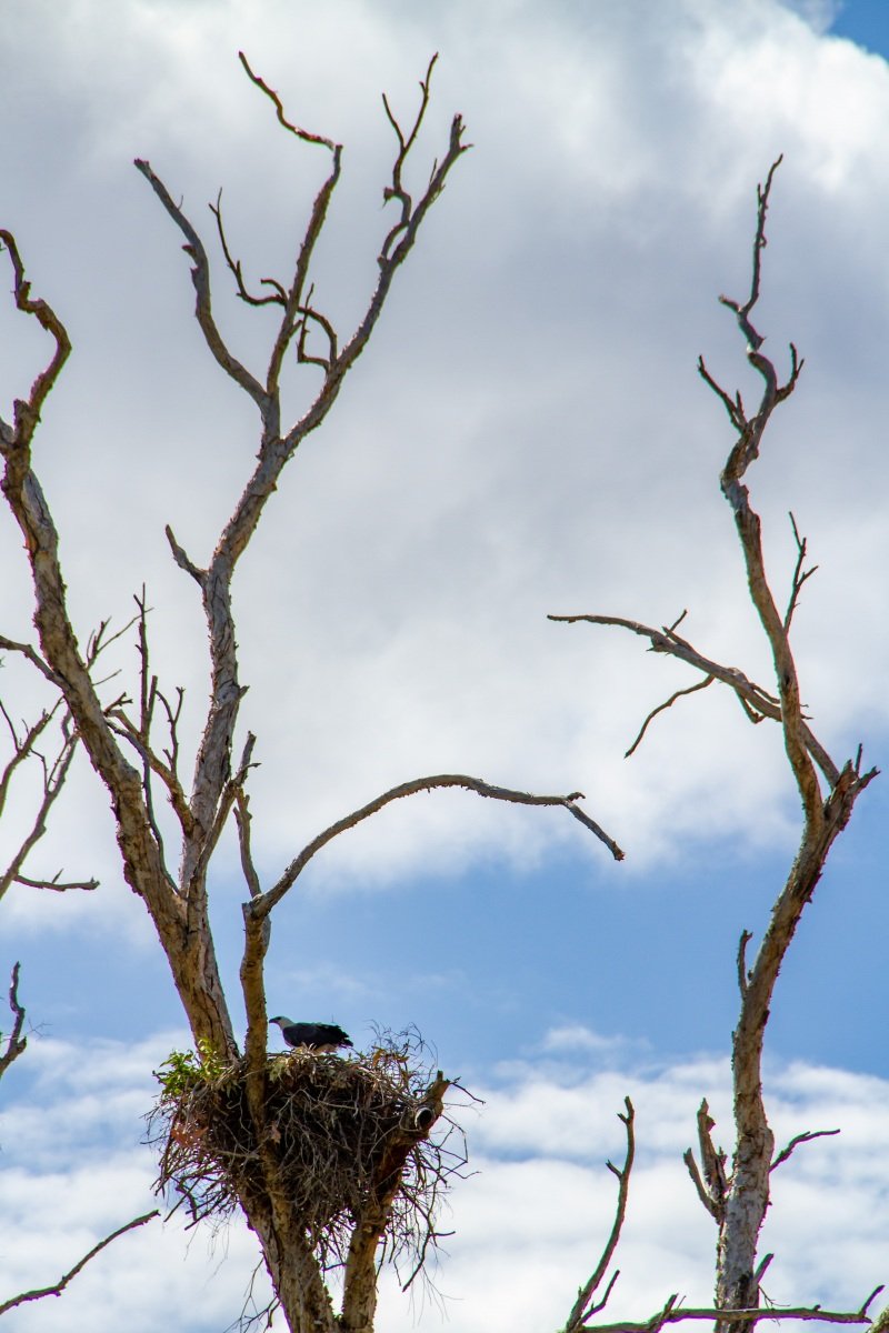
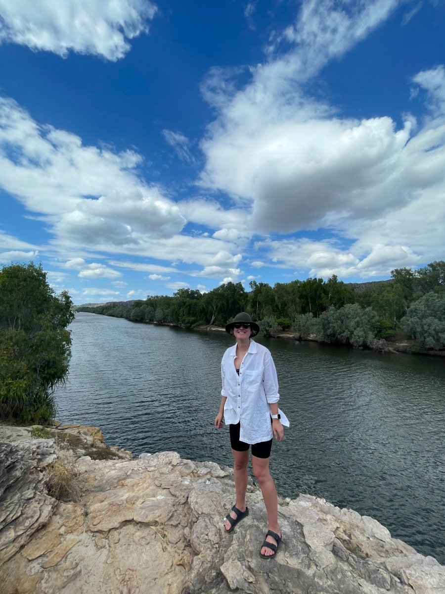
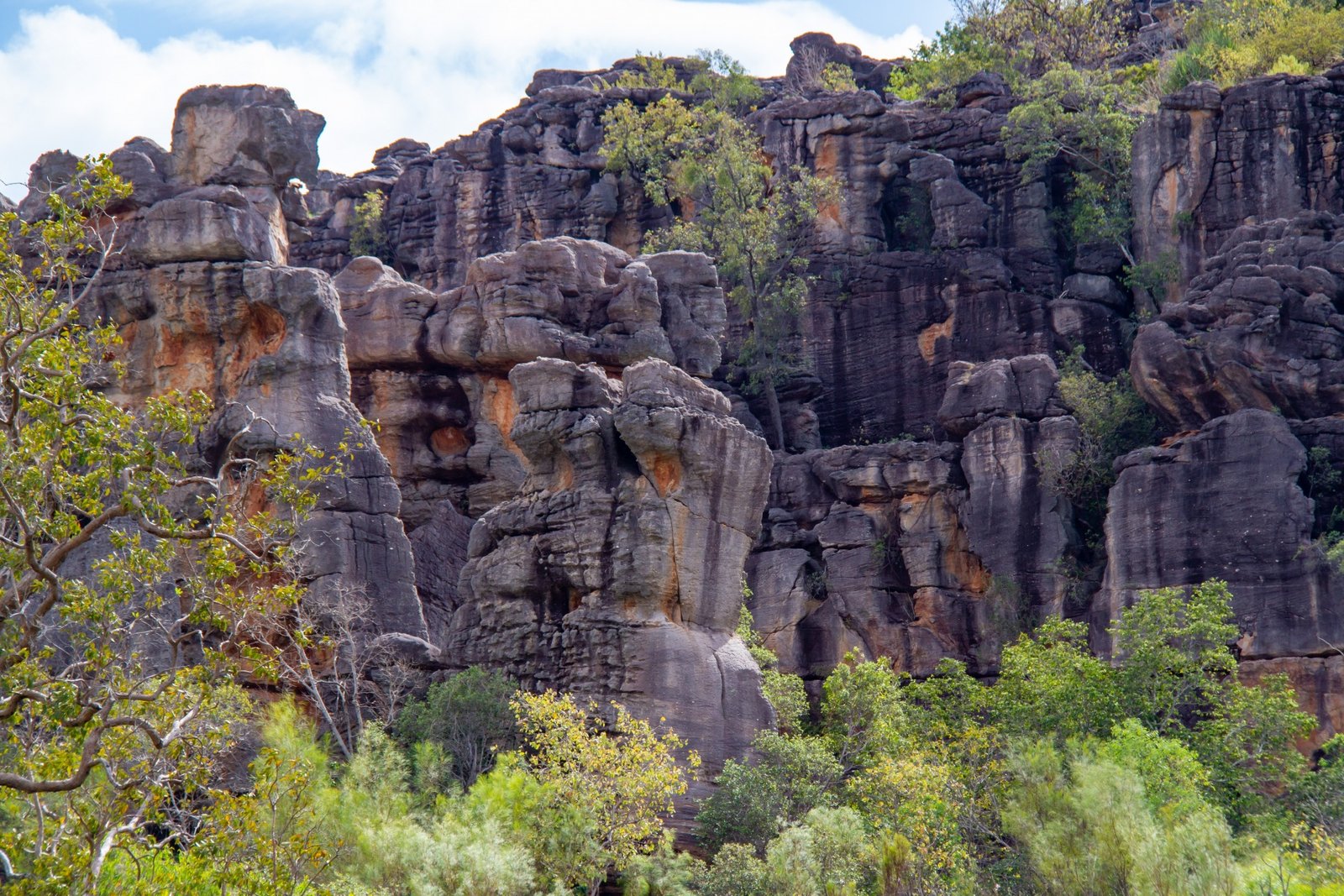
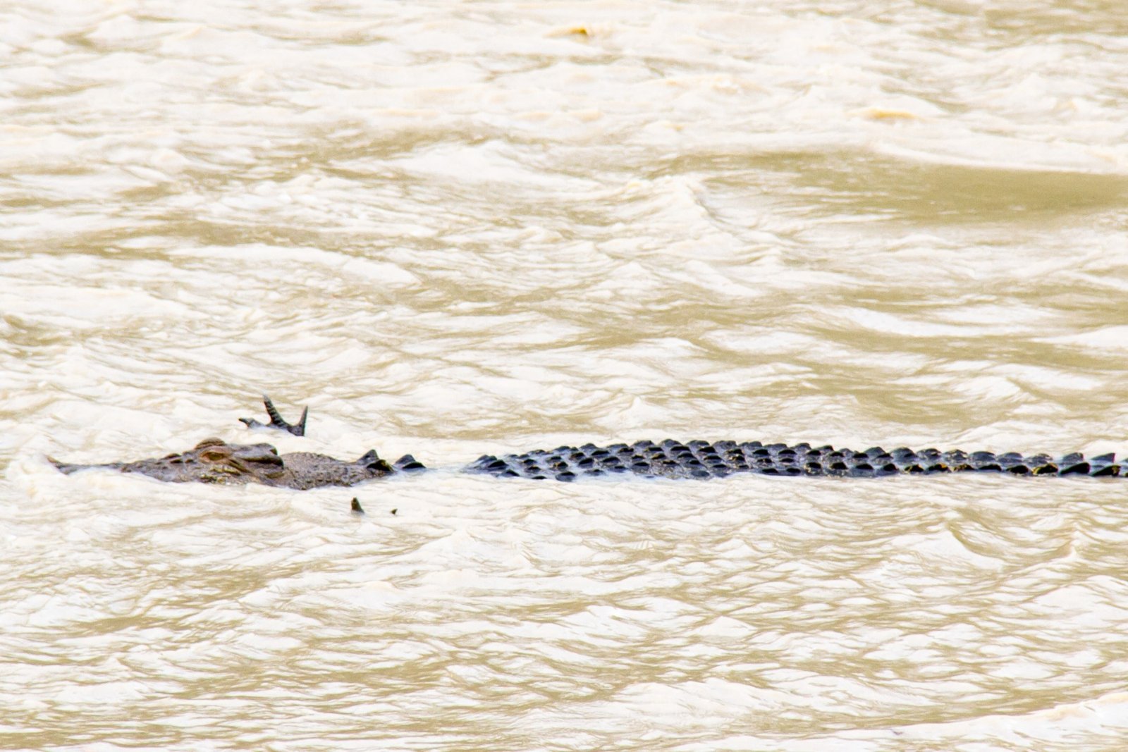
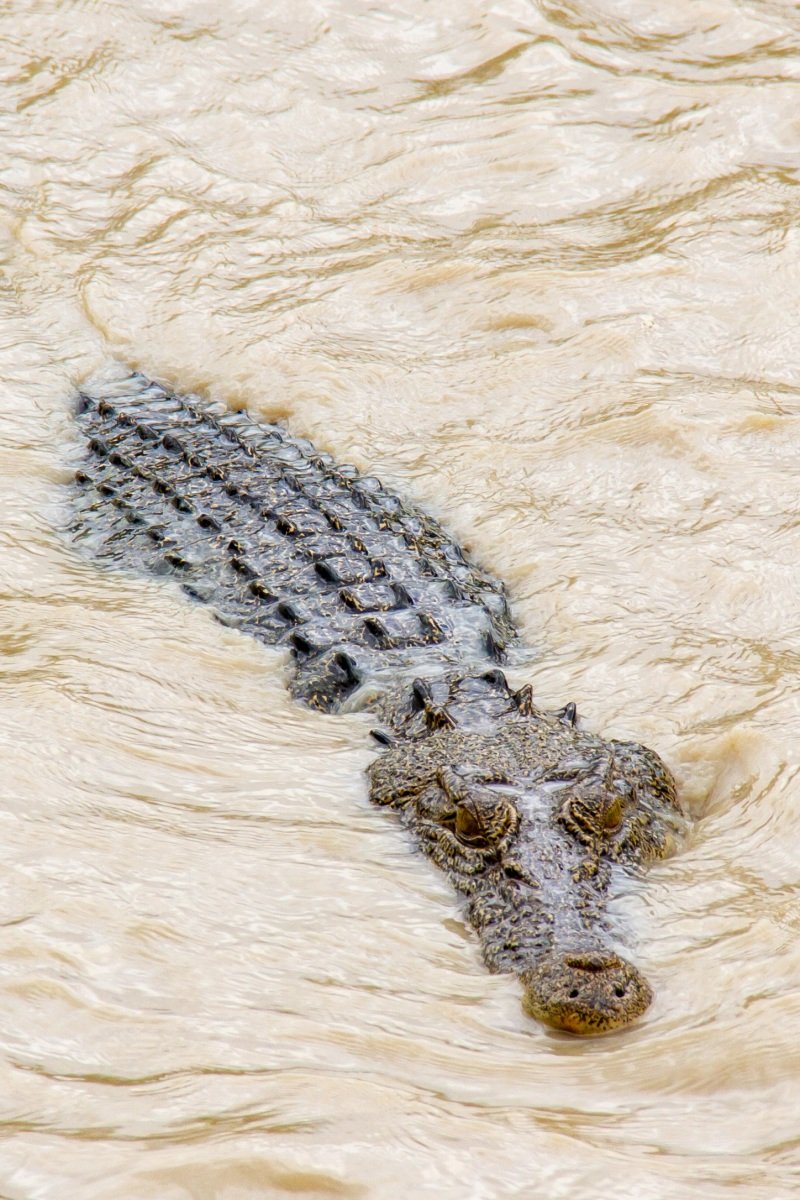
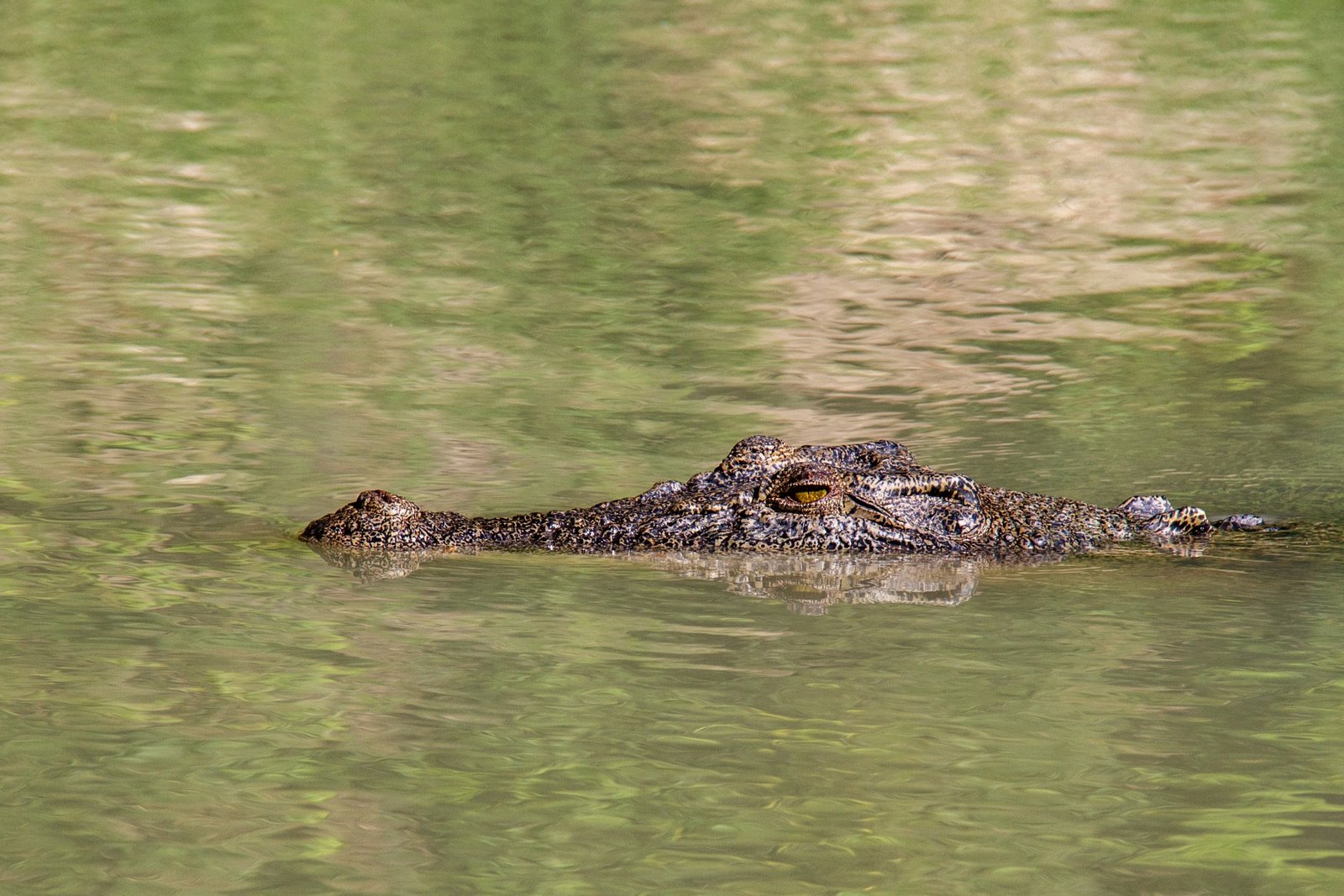
Our guide takes us along the river, stopping to explain uses of plants, for a closer look at crocodiles [Anna: so, SO many crocodiles], pointing out some locations Aboriginal people once lived by the river and eventually to walk up to a view over the river. The guide is funny, quite sarcastic about the government’s inability to recognise that there’s a people here who have figured out how to survive 60,000 or so years and fail to ask for or heed their advice. I feel pretty sympathetic to his opinion, though I do hold out a little more hope than him. (He reminded me of my high school art teacher, Mr Mac, who was the main reason I survived school at all.)

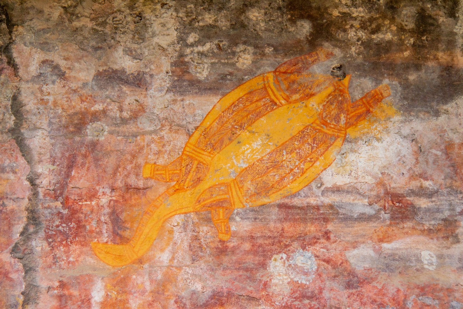
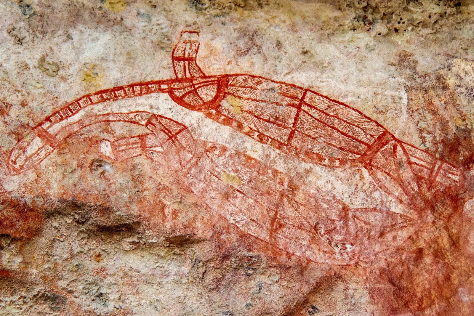
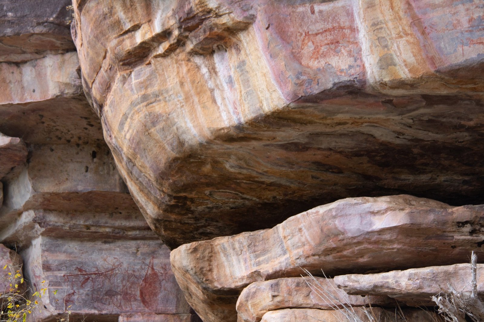
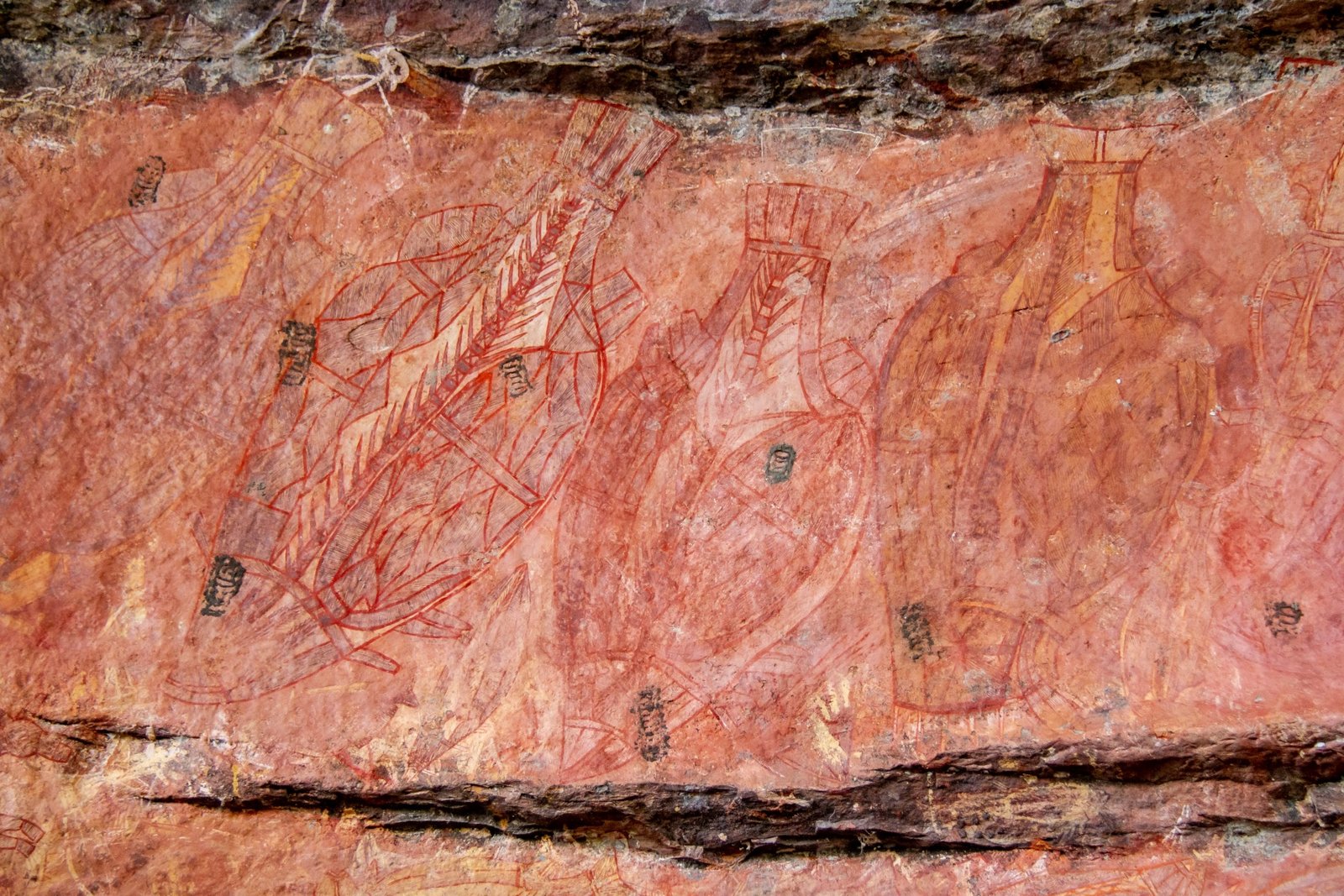
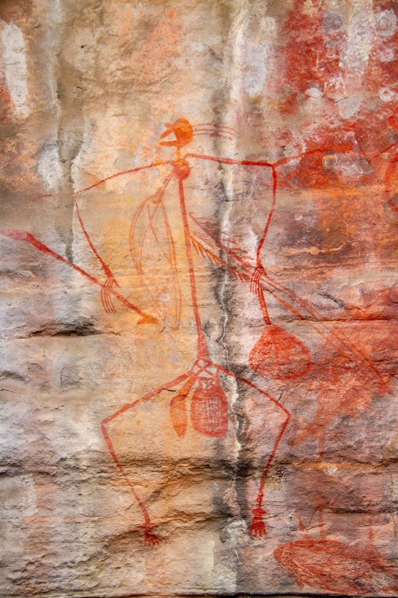
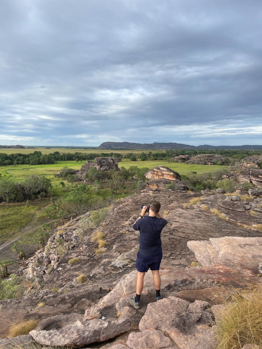
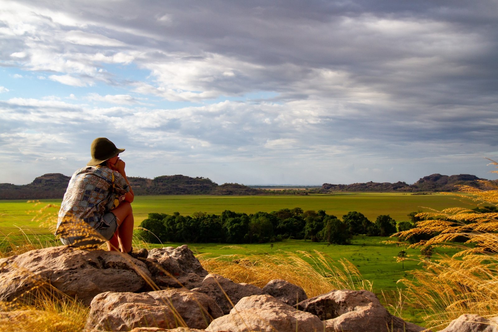
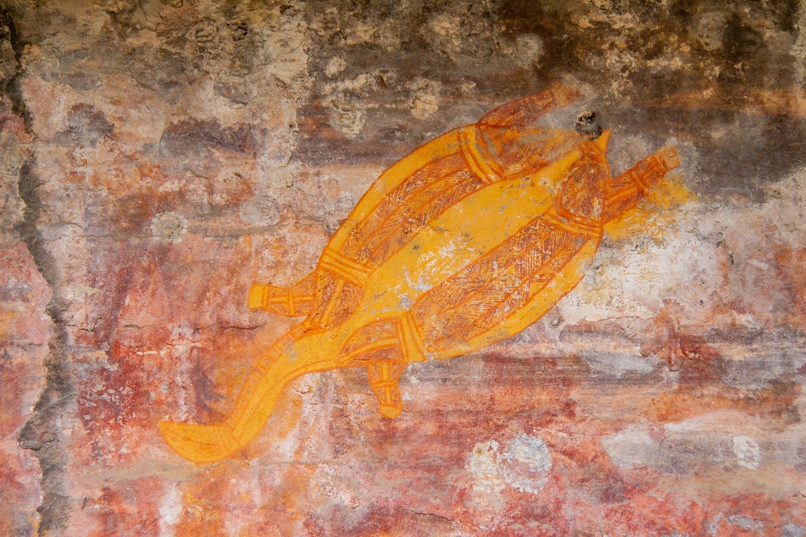
After the cruise we head back to Ubirr to get a better look at the art. I’ll let the photos speak for themselves, quite special. 

 [Click on a photo to open a full-screen slide show]

Kakadu — Day 1

We leave Edith Falls and drive up to Jabiru in Kakadu.  We’ve heard that some people complain that Kakadu is just scrubby bush and therefore uninspiring [Anna: Spoiler alert, some people are wrong, but I concede Kakadu is a difficult park to plan/navigate]. The main road through is fairly long (it’s 2 hours from Pine Creek to Jabiru) and the bush is scrubby, so I can see where they impression comes from, but there are big rivers and huge rocky formations along the way – all hinting that there’s plenty to find in the park. 

The extremely helpful visitor centre helps us plan what to do (given some of the tracks are 4wd only) and we make camp. 

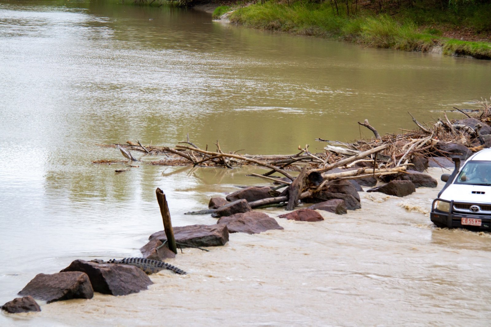
There is a crossing over the East Alligator River which attracts crocodiles at high tide. They wait to catch fish as they swim across the ford. Once we’re settled at the camp we head to Cahills Crossing. 

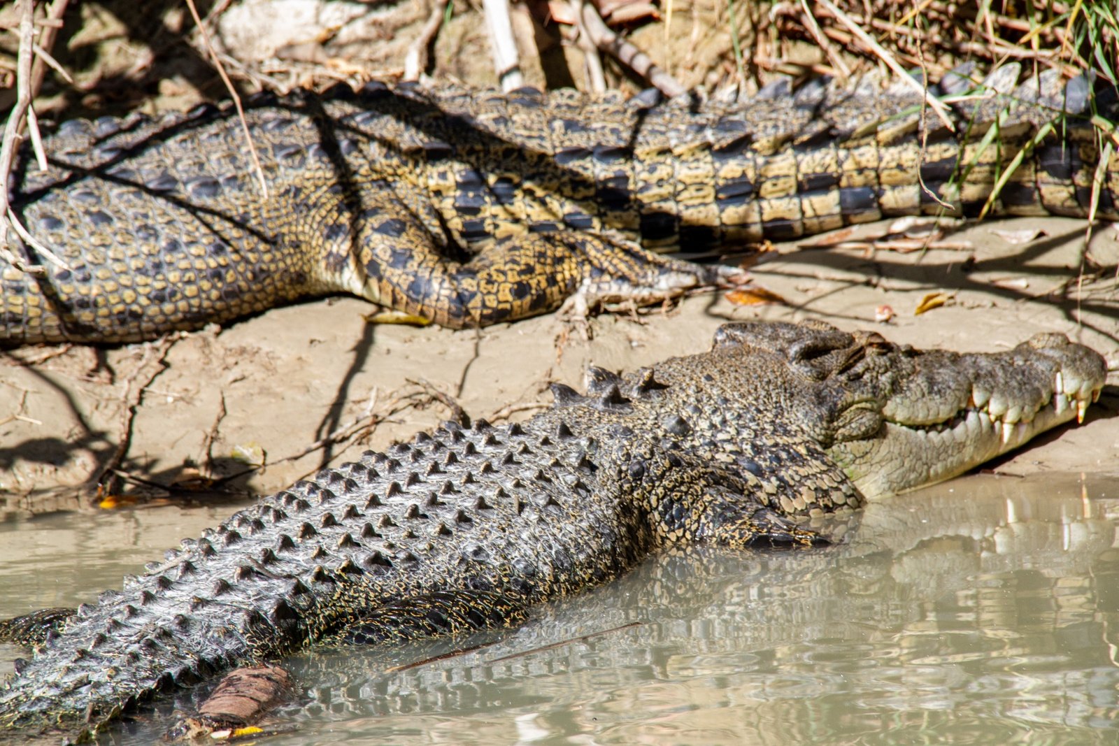
A viewing platform overlooks the crossing and we join some others to watch. Something like ten or twelve crocs lie in wait [Anna: and a couple more below the surface for every visible croc]. They hold their arms up to stay in place, they’re hands look like black stars pointing out of the water. Sometimes one will surface out of the murky water, but really watching them disappear is more unnerving because of how quickly and how completely they’re hidden [Anna: In a particularly terrifying moment, a big croc from the middle of the river disappeared completely only to reappear underneath the viewing platform, clearly sizing us up]. 

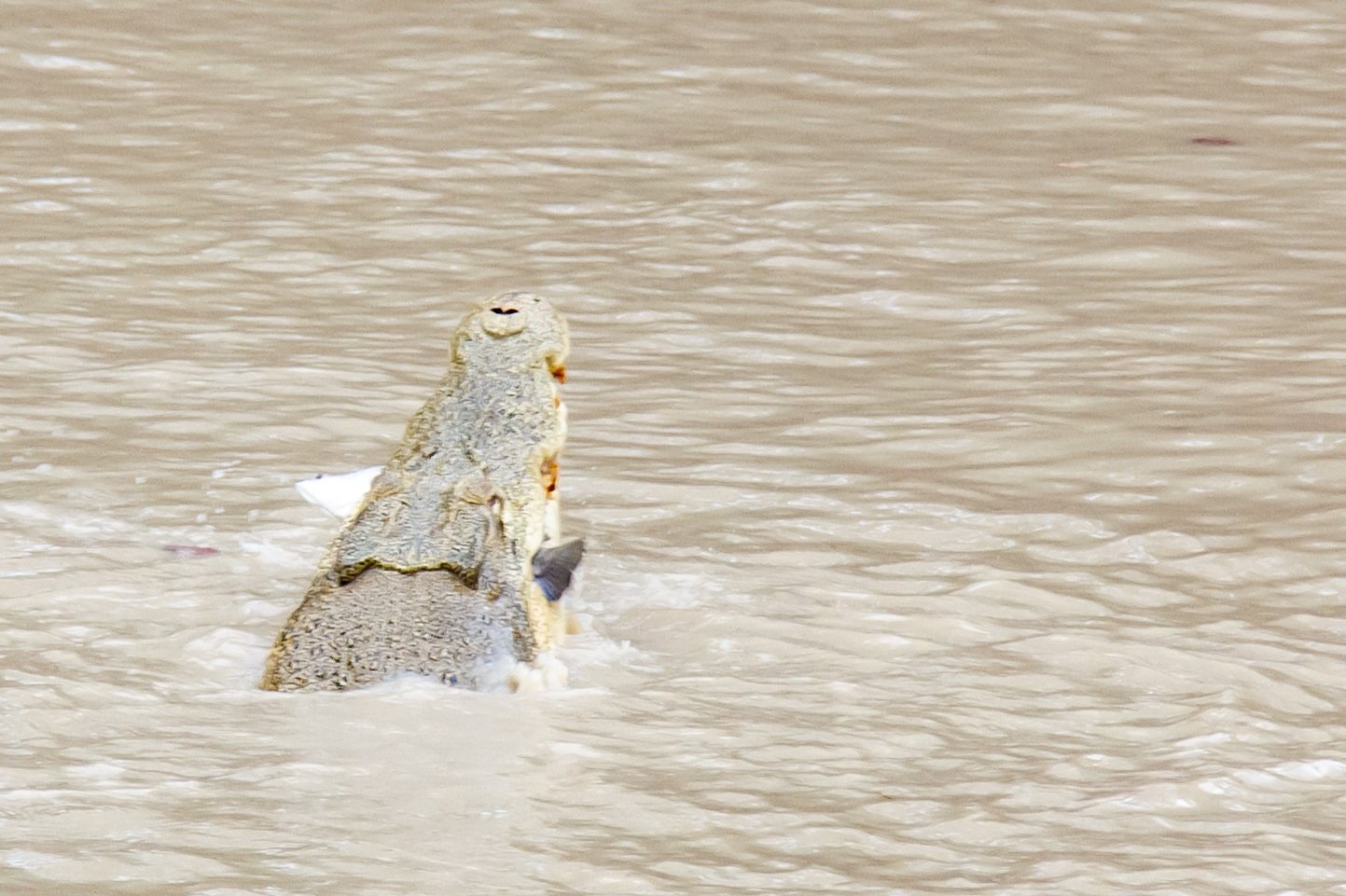
Mostly they float in absolute stillness. Then in a sudden splash one will grab a fish from the water, tossing it back into its mouth. 

When a bird flies too close, a croc launches into the air, narrowly missing the bird (met by excited gasps from onlookers). 

Now and again a 4wd will drive over the crossing, crocodiles reluctantly giving way. The local drivers know the path to avoid two big holes, but the visitors reliably drop into both, sending waves over the nearby crocodiles. Two times Commodores make the crossing, really drawing the onlooker’s attention. It looks incredibly sketchy. 

Our fear of the resident reptiles stoked, we head to a sunset spot. 

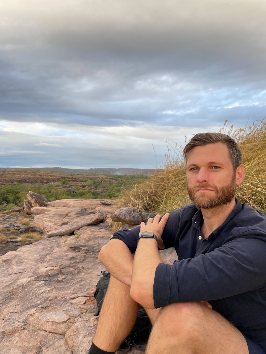
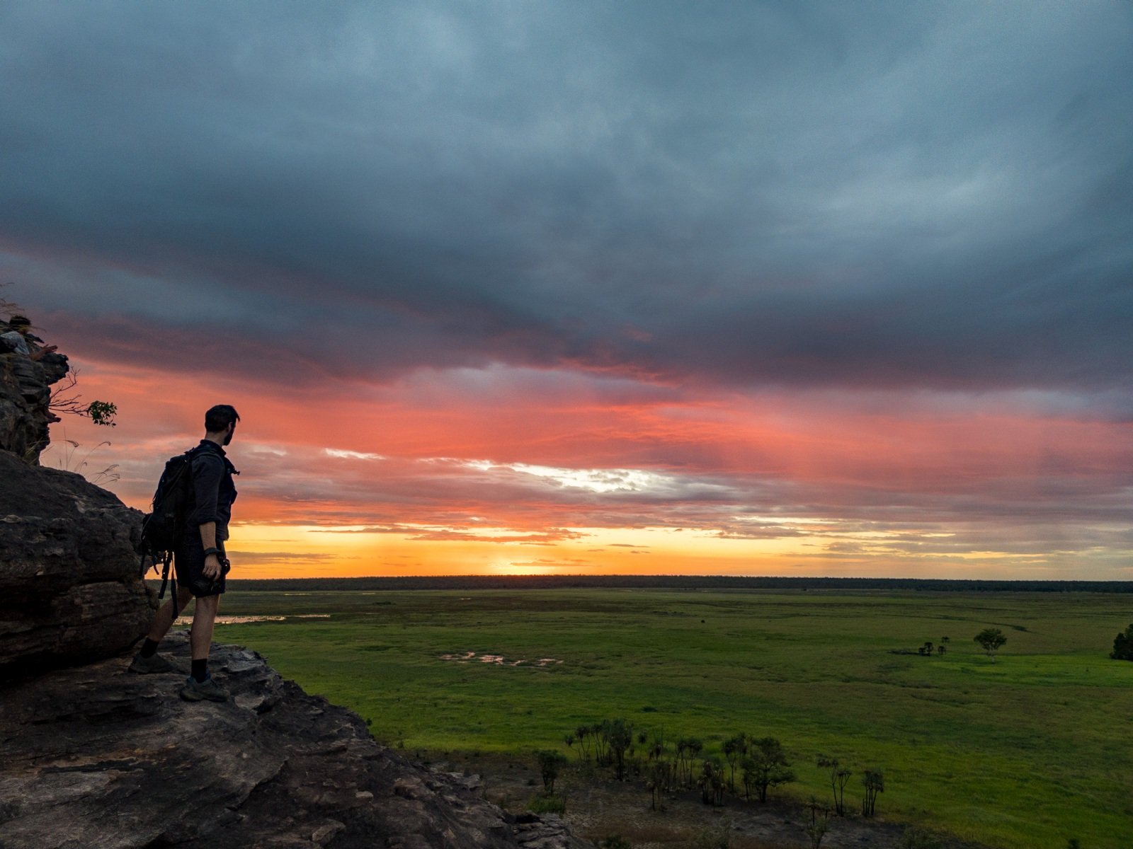
Ubirr is a formation of rocks overlooking the Nadab floodplain in Arnhem Land, which are great to watch the sunset from. There is also some amazing rock art, lots of paintings of the local food from the past few thousand years, one is almost like a menu [Anna: There was also an awesome painting of a Thylacine, which a lady who doesn’t understand the concept of geological time, continental drift/sea level change or human-induced extinction believed was fake because “Tasmanian Tigers only lived in Tasmania”]. 

On the walk to the top we stop into the different art sites, some are hard to see with the low sun directly on them – we’ll come back tomorrow to get a better look. But even this half look is incredible, the X-ray style used often here is so detailed! It’s quite stunning. 

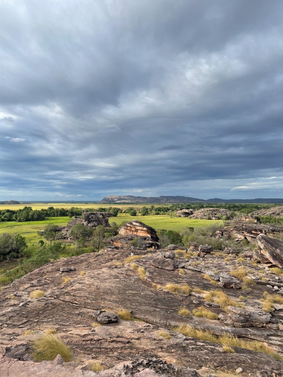
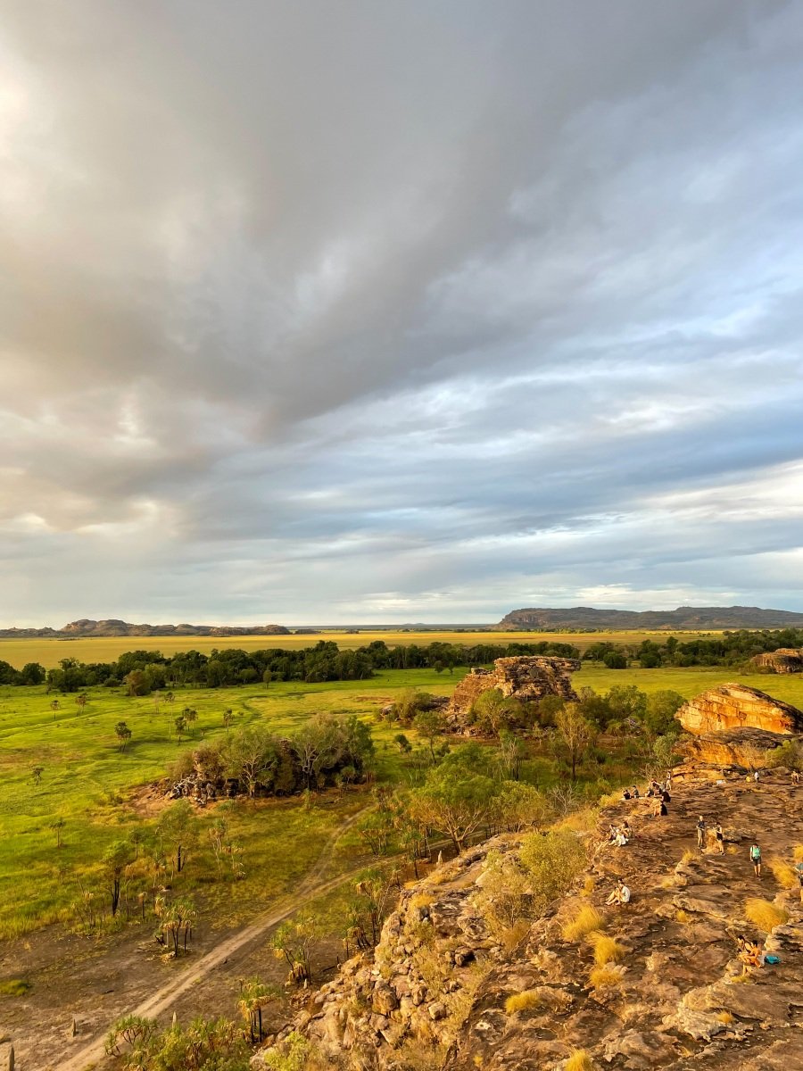
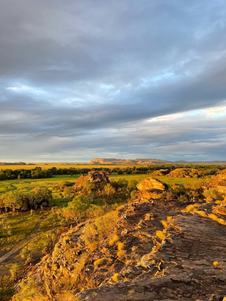
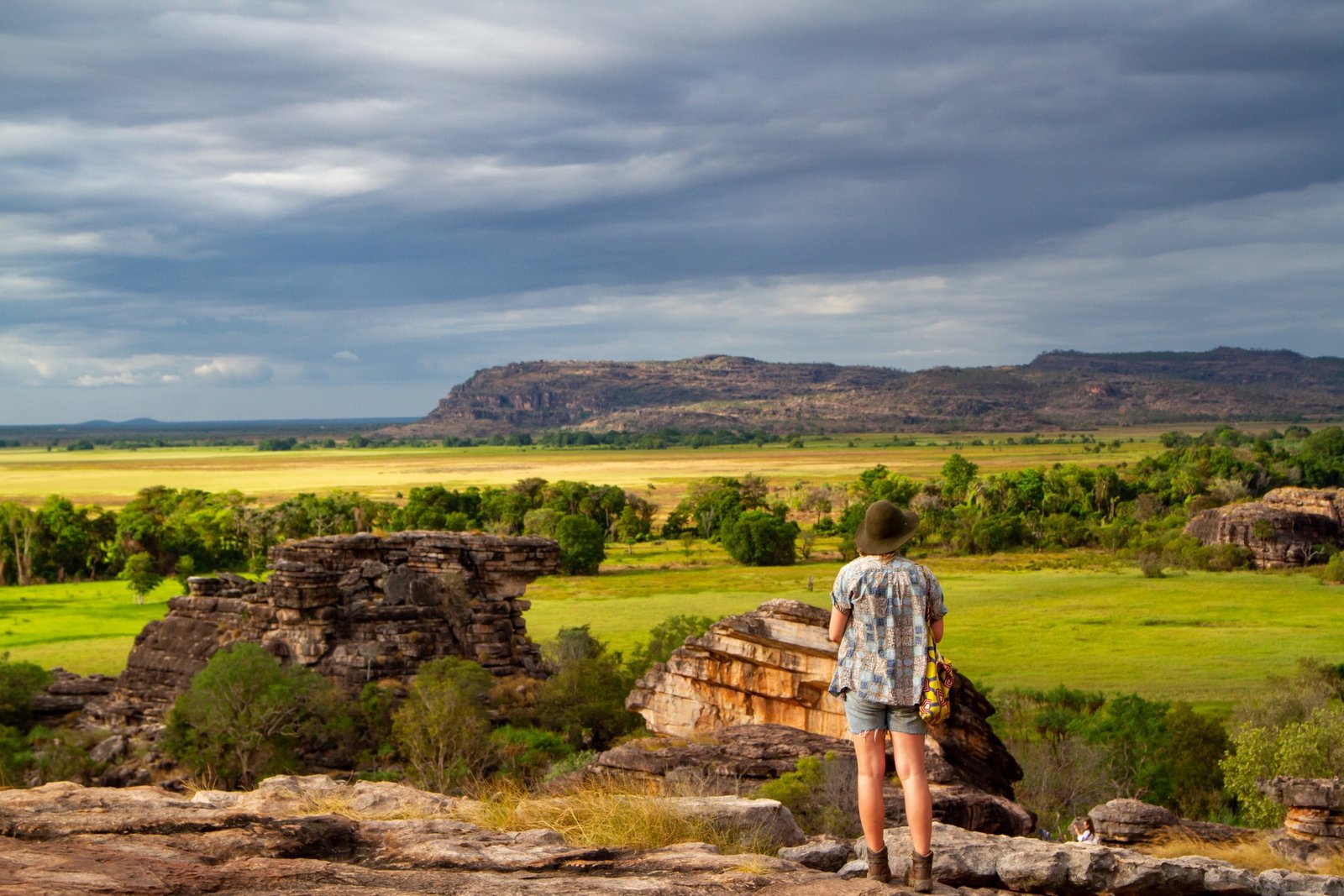
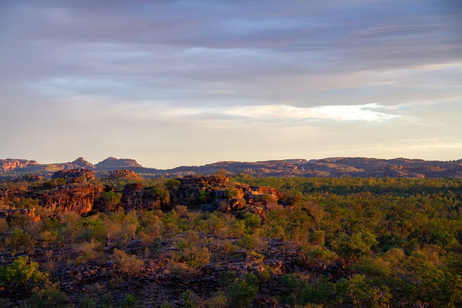
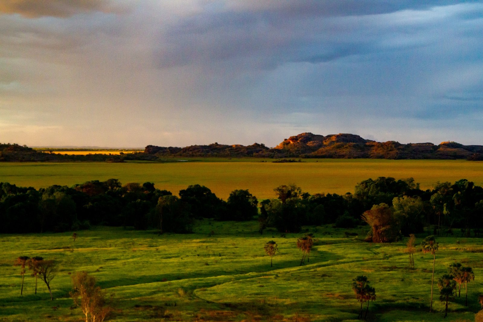
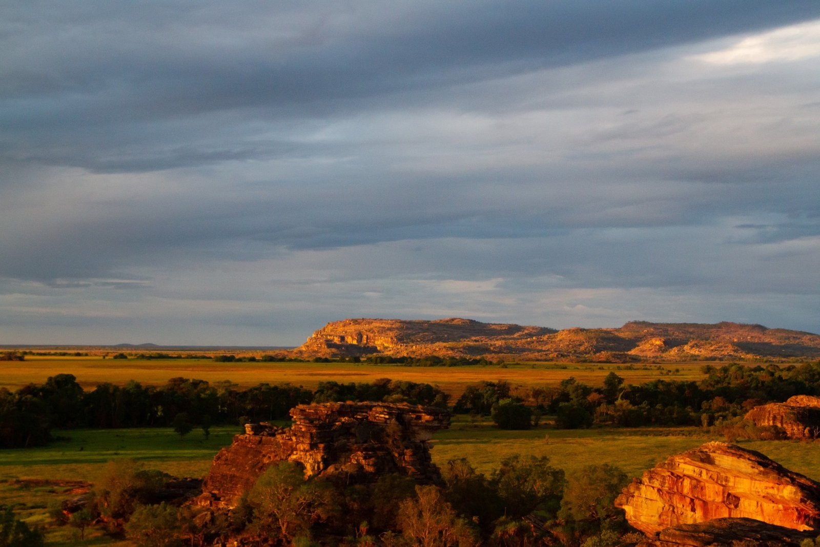
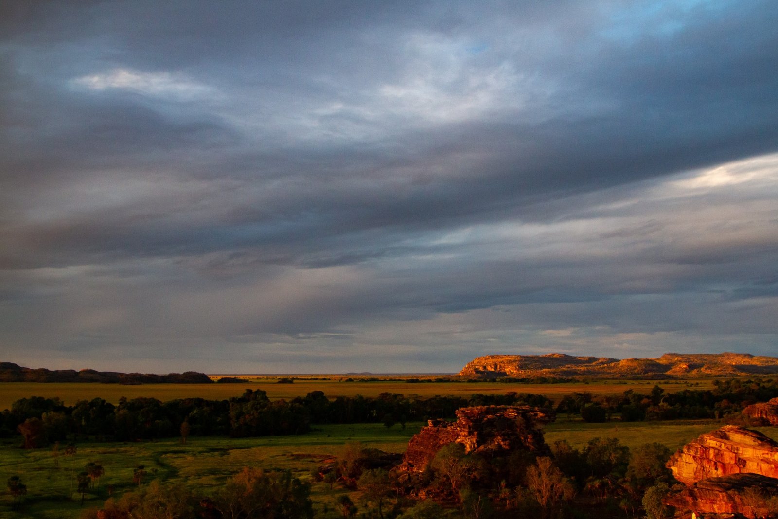
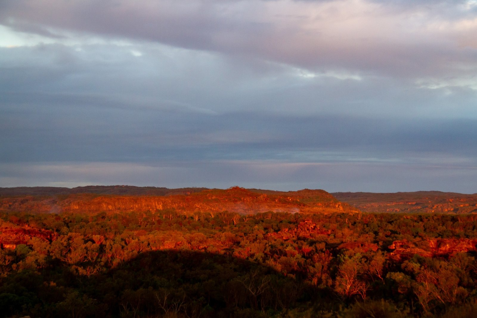
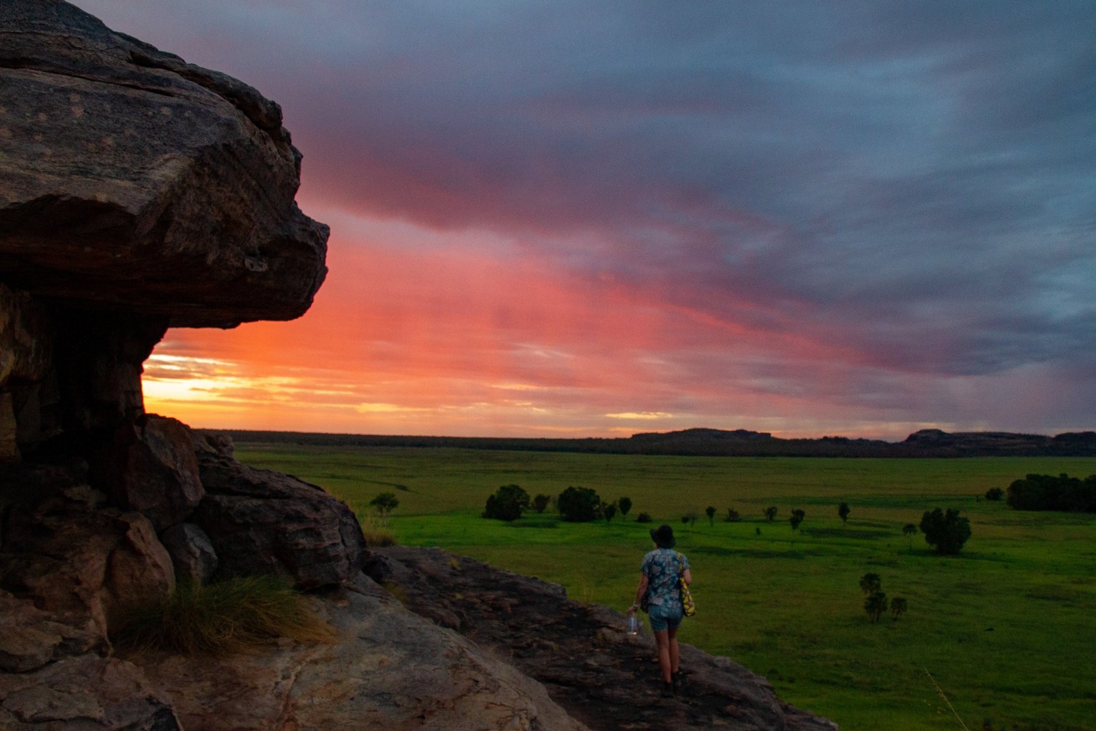
Higher up on the rocks we start to get a view of the surrounding countryside. In front of us a big floodplain made patchy with shadows by the clouds overhead. Around to our left there are green tree-covered hill and rocky outcrops with taller mountains in the distance behind. On our right is the lower parts of Ubirr and two great rock faces in the distance, separated by Nadab’s green plain. Finally, behind us is a long wide section of low green bushland stretching into the distance, from which small fires trail pale smoke into the evening air. 

The spinifex around us starts to catch rays of golden light, as does the Ubirr rock face. 

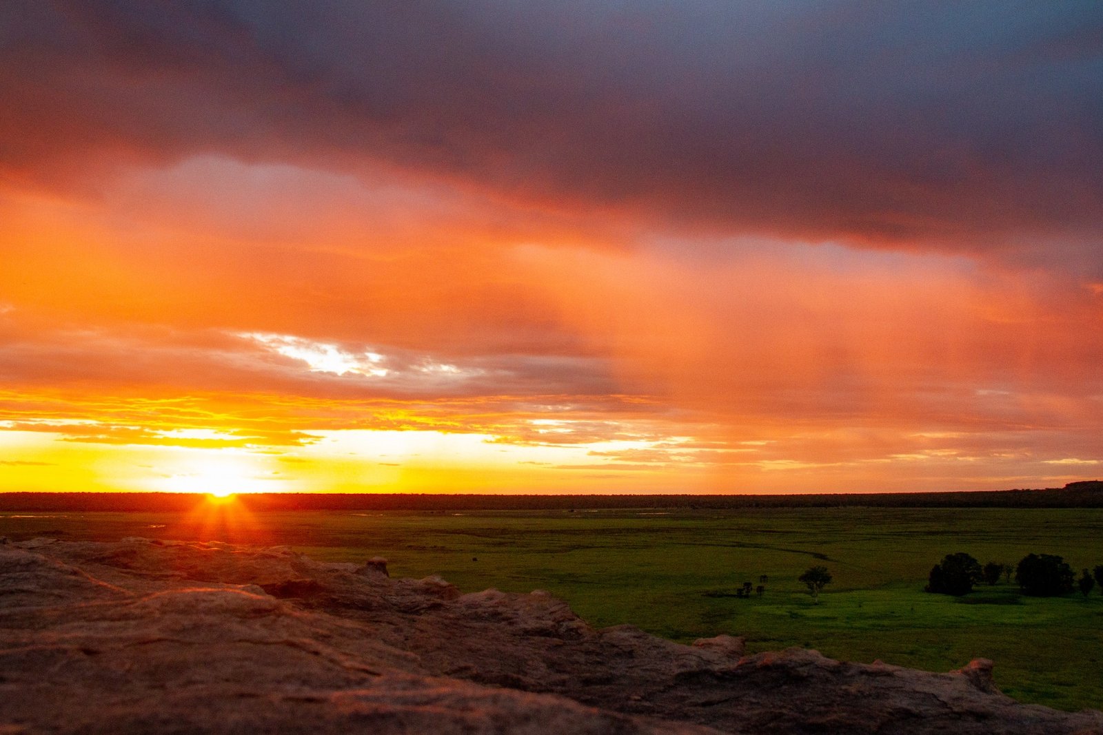
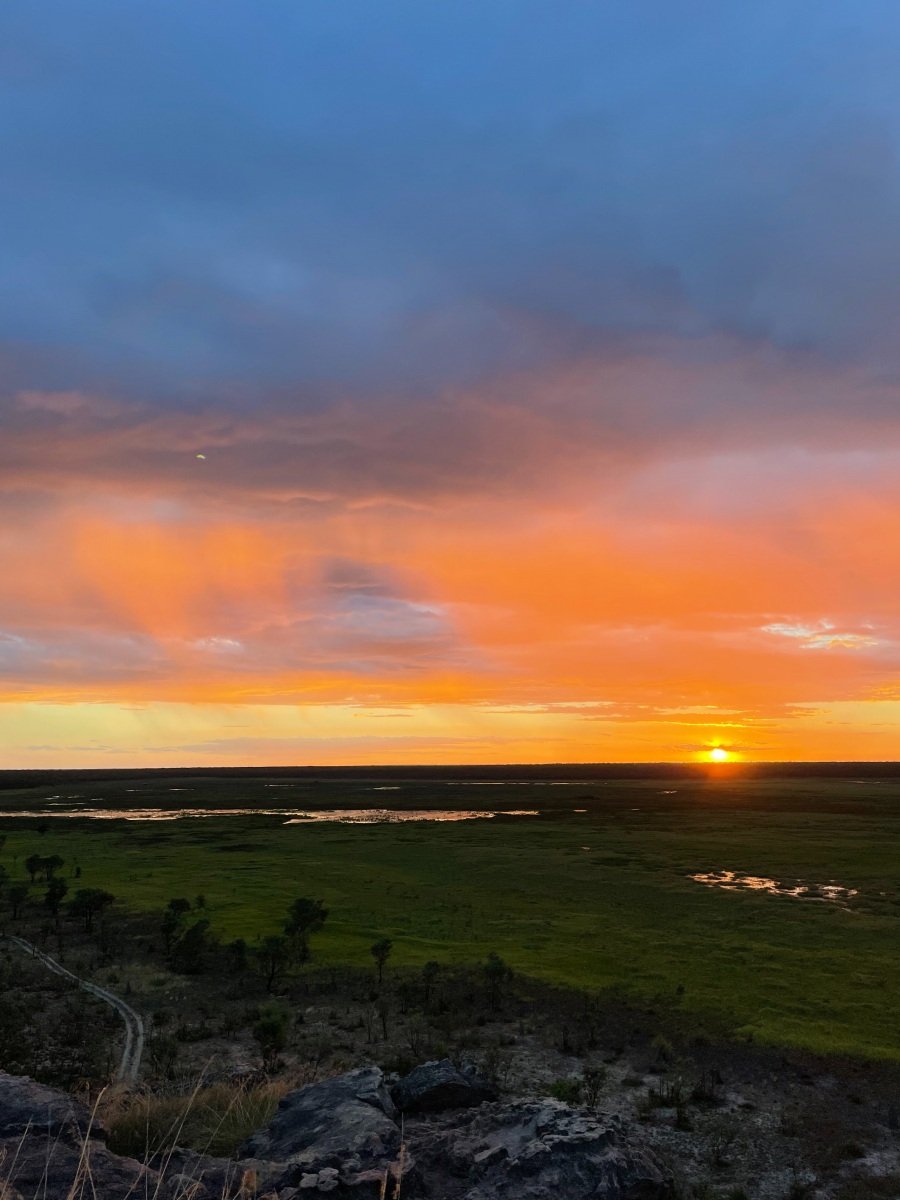
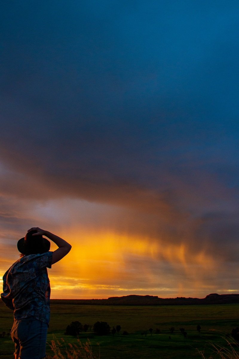
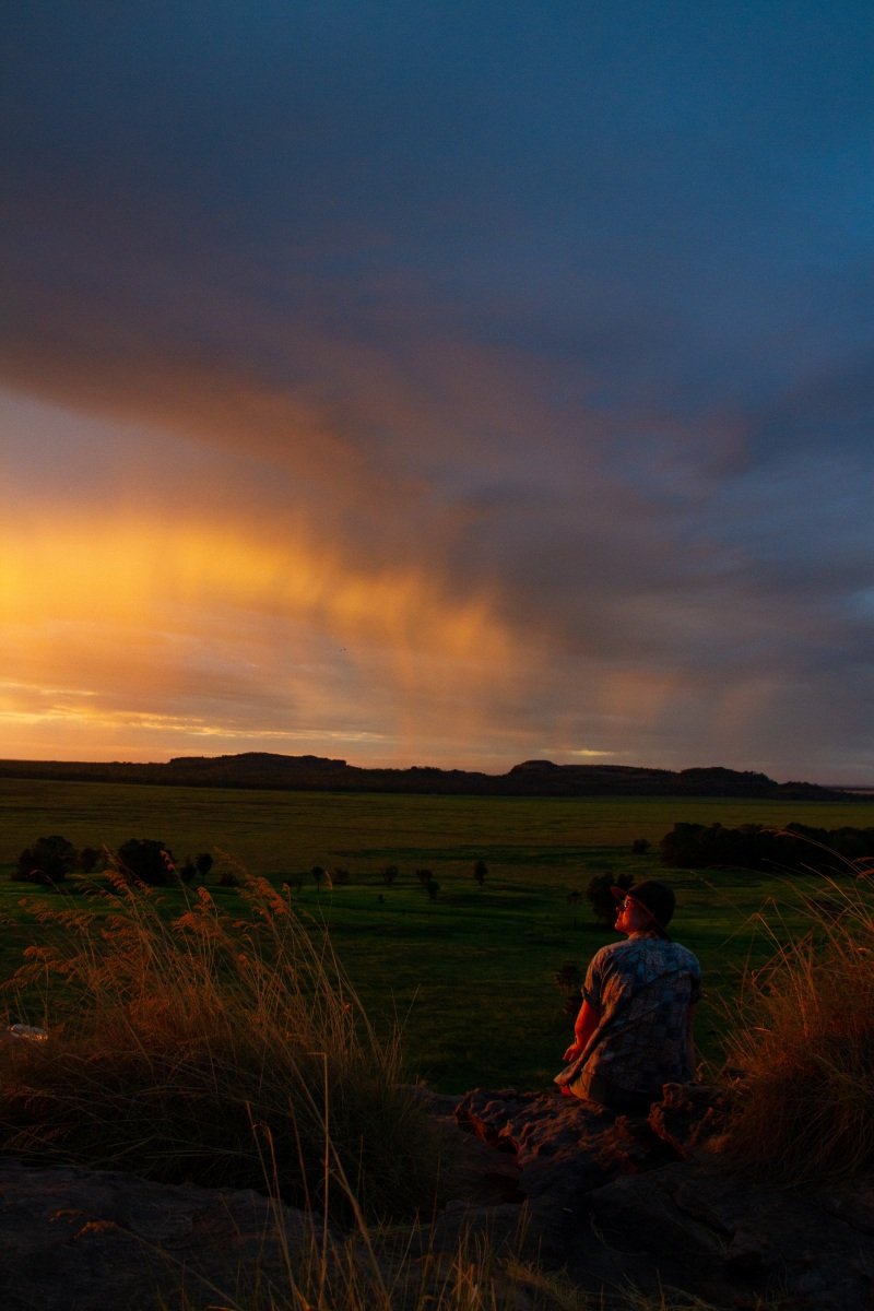
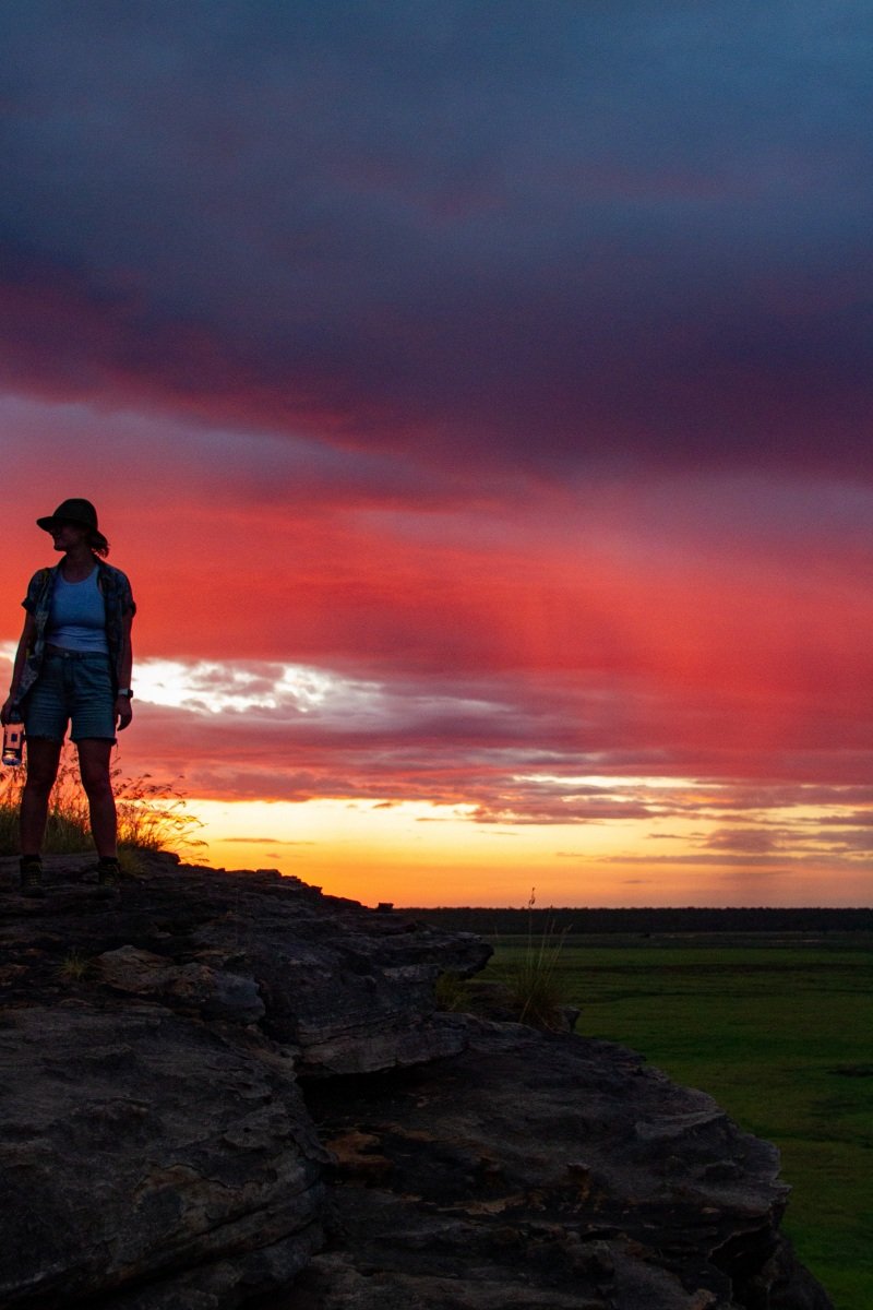
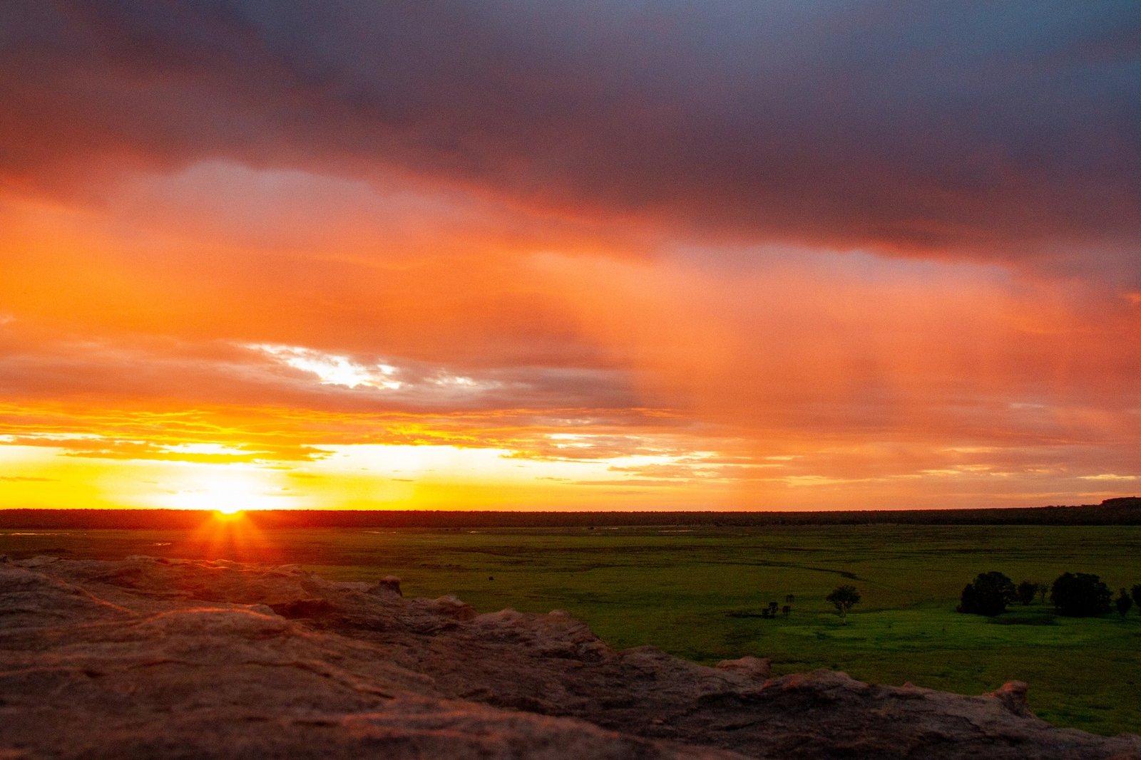
As the sun approaches the horizon the clouds overhead begin to colour, and a tiny rain shower drops over us. In the distance the rain sparkles yellow and orange [Anna: Note that rains this early are not normal and an indication of climate change… but thank you to climate change for our wonderful sunset!]. 

Behind us the last remaining rays pick up the rocks in the distance and even the green trees succumb to the orange light. 

When the sun at last disappears the whole sky lights up bright pink and burnt orange. Magnificent.

 [Click on a photo to open a full-screen slide show]
Edith Falls

After another noisy (but fun) night we pack early to take a place in a queue for a camp site at Edith Falls. When we arrive at 07:30 we’re number 6 in the communally kept order. And we take part in numbering other groups as they arrive. Sites are limited here, and popular, Number 1 today arrived at 06:30! We easily get a place (unpowered sites are a lot earlier to fit in). We cook breakfast in a park while we wait for check-in time.

The popularity began to make sense with the rules given to those waiting in the queue (no generators, no idling engines, no parties [how old do I sound writing that I like this!?]). The camp ground is like an oasis: the sites are shady, the breeze is cool, there are sprinklers keeping the grass green and soft. What a change from last night!

It turns out (having not looked earlier) that the cool breeze is coming off a swimming hole 5 minutes walk from our camp. We swim, dry, do some crosswords and go to bed.

[Click on a photo to open a full-screen slide show]
Early the next morning we set off for an adventure. The peaceful night makes starting early a breeze. We walk to the furthest swimming hole first, called Sweetwater. We arrive before anyone else, and no one has camped overnight at the nearby sites. It’s calm and serene, but with no one else there it feels funny to get in the water. And not to be too mean to Sweetwater but Long Pool, which we passed on our way, looked very pretty. So back we go!

At Long Pool we swim under a little waterfall, laze on the rocks and take gratuitous photos.

We take a loop walk back to stop off at the more easily accessible Upper Pool. This is definitely the best swimming hole so far! There’s a large waterfall to play in, clear, deep water and plenty of rocks to lie on.

We’re back in time for lunch (a Barra Burger and Buffalo Burger) and we enjoy another restful night

[Click on a photo to open a full-screen slide show]
Nitmiluk – Day 2

Today we joined a boat cruise covering three gorges. I didn’t realise, but large rocky sections break up the river into distinct gorges. Cruising slowly up the river our host describes uses of different plants, Jawoyn creation beliefs and geological formations all with a pleasant assuredness. We learn that recently the Jawoyn people have been able to fully buy out their partner owners of all the tourism, so the operation of the park is entirely Aboriginal-owned.

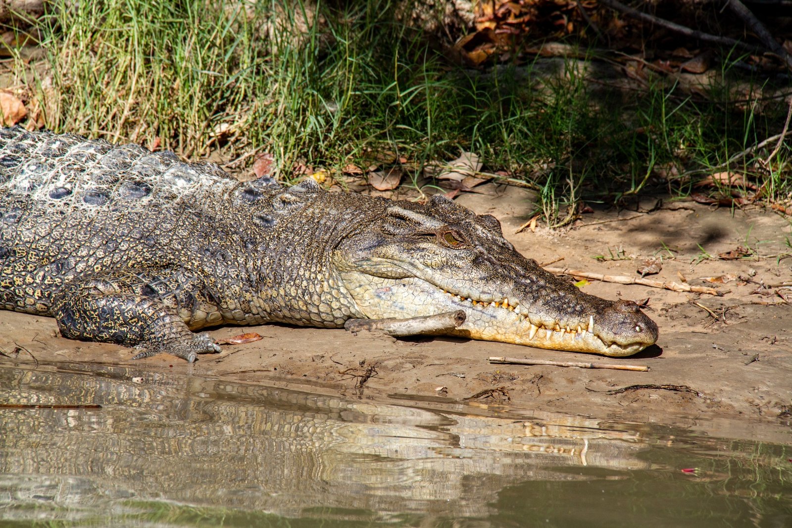
The gorge has an ancient patience for its foreign visitors, resplendent and proud as we wander through. Small fresh water crocodiles sun themselves. On sandy shores small test-holes have been dug for as practice for egg laying later in the season. As we reach the end of each section we walk between boats to continue the trip. At the final change over on our way back we swim for a while. The tranquillity of this place is amazing.

After a short rest we head into Katherine to look at an art gallery. I lack skill in any art (visual, performing, music) which goes some of the way to explaining why I like it so much (the rest is more obvious: Mum). Buying art has always been an aspiration for me, I enjoy art and I like supporting artists. So after much deliberation – and with great pleasure – we purchase a work.

Our last night in Nitmiluk is similar to the first two. There’s a school camp, excited and loud; and a buck’s party, excited and loud. Even so, the place has been amazing!

[Click on a photo to open a full-screen slide show]
Nitmiluk — day 1

First full day in Nitmiluk: our helpful visitor centre guide has given us full directions on how to cover the best parts of the part in a day, and it’s going to be a hot one, so we set off before sunrise.

A couple of kilometres up a steep fire trail and we can just see the sun beginning to rise over rolling hills. As we wind through fairly level ground the light starts to catch fine details: the fuzz on long grass or the peak of a rocky outcrop. We walk towards the sun to the first lookout (Pats), everything in front is in silhouette. I’m not sure what I was expecting, and this sound stupid but I’m so used to dry river and creeks that the NT keeps surprising me when there’s actually water!

So it’s a wonderful shock when we round the a bend, step out onto a rock flat platform above a shear drop and the view opens up. We look down over a wide river far below, deep blue water (the sun not being high in the sky, the water doesn’t sparkle yet), snaking through a gorge until out of sight at a bend. Yellow cliffs opposite aid the sense of our own height above the water.

We walk for some kilometres weaving close to the gorge edge and then back through bush land. Each time we can see into the gorge the sunlight has changed the view. The water starts to sparkle, the rock walls change colour, light dances on the cliff from the river, canoes move in and out of view. Now we head down into a branch of the gorge.

Smooth river rocks are our path, steeply descending. Open, scrubby bush becomes more lush in the shelter of the close walls. The path loses its steepness and we cross some stagnant water holes, a disconnected river. Suddenly we round a small bend and find ourselves at the end of the trail.

We stand at water level, in the sunlight, looking along the river into Katherine Gorge. Quite stunning! We can hear distant canoe conversations (a school camp group) and the water looks inviting. But instead of swimming we take a break and have some food, really wanting someone else to jump in the water before us – obviously they’ll be taken by a croc if there is one!

Our wish is granted after lunch when a family arrives and jumps right in. That’s our cue, and in we go.

The rest of the walk is a fairly practical 8km, with a stop at a lookout right towards the end. I’m hot and sweaty when we arrive, so I stop to cool off and take in the view. As I look out into the gorge I get a sudden rush of peace and serenity. I find it quite emotional looking out into this majestic place. We’ll come back later for sunset, and to see the bats take off for their night hunting (as advised by our helpful visor centre guide).

When we return to that lookout (the fast way, up the stairs), we set-up with cheese and beers to wait for the sunset. The sun again changes the nature of the gorge. The water goes bright and reflects the sky and in the next moment it turns to ink. As the light really fades the bats begin to screech and swarm from their roosts, they dip into the water to cool and then stream down the river. Looking against the last light, not only are there bats close to us, but there are thousands and thousands of bats appearing as tiny specks far off into the distance. 

[Click on a photo to open a full-screen slide show]